

We provide expert layout design and mapping solutions to help clients utilize land effectively, ensuring proper planning and execution.

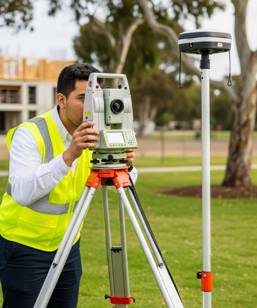
Advanced digital tools are used to measure land with high precision, minimizing human error and enhancing documentation clarity.
We mark key construction points accurately on the ground as per structural drawings, aiding smooth and error-free execution.

Our team conducts detailed surveys for resorts and marks boundaries to suit architectural design and land topography.
We generate clear, professional maps from field data, suitable for layout approvals, development planning, and legal use.
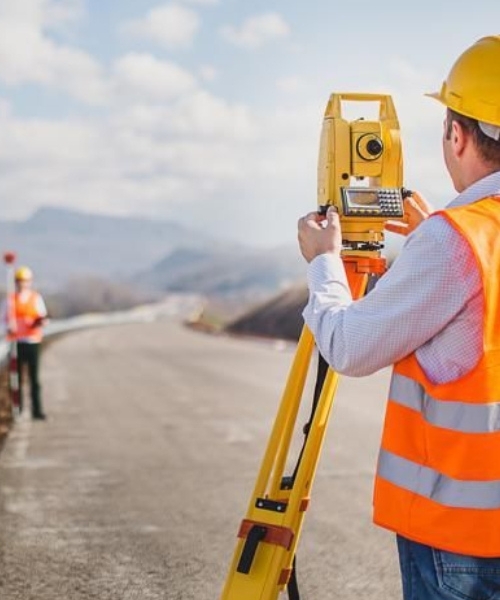
Road alignments and dimensions are surveyed and marked precisely, helping in planning new roads and maintaining existing ones.
We identify and demarcate exact property boundaries to assist with ownership records, sales, and legal verification processes.
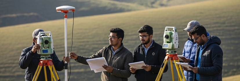
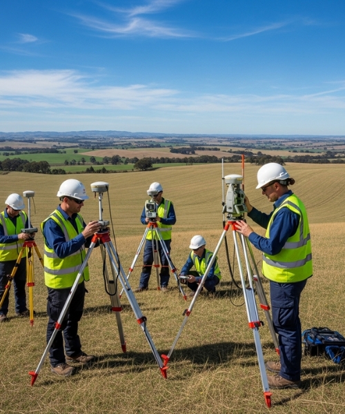
Using Total Station and DGPS, we carry out high-accuracy surveys for construction, boundary mapping, and land development.